
The Rwanda Genocide Mapping Project, developed by CDTs Weston Vekasy ’19 and Maddie Easter ’20 in collaboration with COL Chris Oxendine (Department of Geography and Environmental Engineering), Dr. Mike Geheran, Dr. Frey, and Dr. Christian Davenport (Notre Dame). The project is a dynamic map of killing by prefecture during the Rwandan Genocide using an underlay of UN deployments provided by LTG (R) Romeo Dallaire.
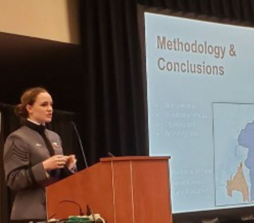
On 10 February 2020, Cadet Madi Easter ‘20, a Geography major, presented her research, “Visualizing the 1944 Rwandan Genocide,” at the Esri Federal Users Conference in Washington, DC. Together with COL Chris Oxendine and LTC Will Wright of the Department of Geography and Environmental Engineering, Easter developed a dynamic digital map that shows the rate of mass killings during the Rwandan Genocide over time, by prefecture, along with concurrent UN troop deployments, the movement of the front line in the Rwandan Civil War, and the location and scale of killing during the genocide. The map helps students visualize how rapidly violence engulfed Rwanda, and reflect on what kinds of tradeoffs General Dallaire, the UN Force Commander in Rwanda, was forced to make as he deployed his meager UN force in a hopeless attempt to stop the violence
© 2026 · West Point Resnick Center for Holocaust and Genocide Studies